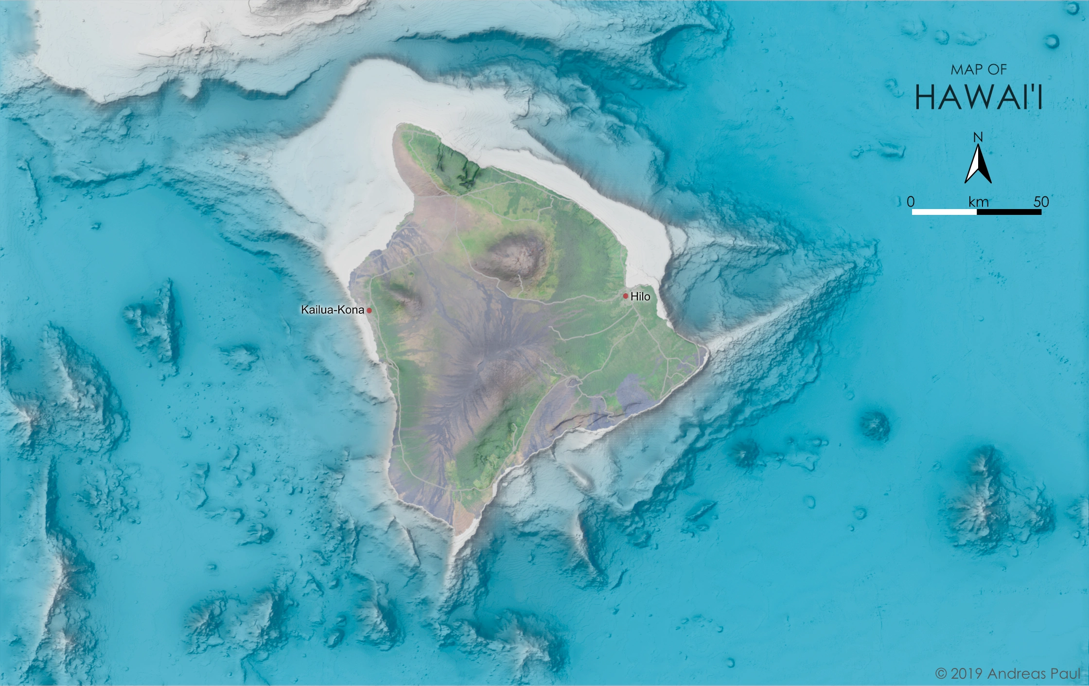
This colorful map has the Big Island of Hawaii in its center, and shows submarine features which normally would be hidden from view. Many of these features are the direct result of volcanic activity, or were produced by landslides related to volcanic eruptions or earthquakes. North-south trending structures visible to the West of the island may specifically be related to volcanism at fault systems that accompany this expansive island chain.
The map was created with QGIS, Blender3D, and Affinity Photo. It uses a 50 meter bathymetry & topography grid provided by The University of Hawaii at Manoa as base. Gaps in this data were filled with the lower resolution GEBCO 2019 grid. The satellite image of Big Island was created by Tom Patterson as part of a tutorial on Landsat 8 imagery, and is available on Shadedrelief.com. Data for roads and populated places comes from NaturalEarthData.com.